The Andaman and the Gulf Take Turns Being Unswimmable
Thailand's two coasts share a country but not a climate. The southwest monsoon batters the Andaman side while the Gulf stays calm, then the northeast monsoon reverses the logic.
Two Seas, One Isthmus
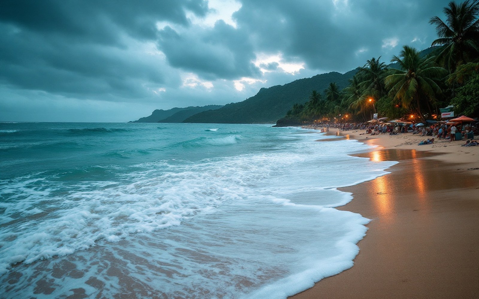
The geography is the argument. Thailand tapers south along the Kra Isthmus, a narrow tongue of land that separates the Andaman Sea to the west from the Gulf of Thailand to the east. The two coasts are sometimes fewer than fifty kilometres apart at their narrowest, yet they can be experiencing completely different weather at the same time. The reason is that each coast faces a different ocean, catches a different wind, and drains under a different sky. Understanding this is not meteorological pedantry; it determines whether a beach is swimmable, and a visitor who arrives at the wrong coast in the wrong season will find not a resort but a building site half-reassembled after the last storm.
The mechanism is the monsoon — the seasonal reversal of atmospheric pressure and the winds it drives. The word itself comes from the Arabic mawsim, meaning season, and the Indian Ocean monsoon system has shaped settlement, agriculture, navigation and trade across southern Asia for millennia. Thailand sits at the eastern edge of that system, and the Kra Isthmus is precisely where the monsoon's effects divide.
The Southwest Monsoon: Andaman Season
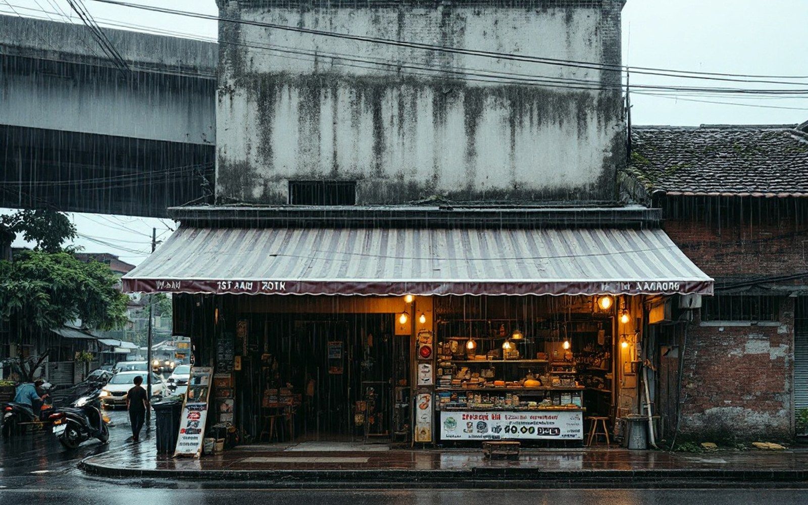
From roughly May, the southwest monsoon arrives off the Indian Ocean, carrying moisture gathered over thousands of kilometres of open water. It strikes the Andaman coast first and hardest. The provinces of Phang Nga, Krabi, Phuket, Trang and Satun absorb the bulk of it. Rainfall accumulates through June, July and August, peaking in September and October before the winds begin to ease. Seas on the Andaman side during this period can be genuinely dangerous: wave heights of three to four metres are possible during storms, rip currents are strong, and the characteristic limestone karst islands that make the Andaman coast visually spectacular offer little shelter from a southwestern swell.
Phuket receives the full force. The island's west-facing Patong, Karon and Kata beaches — the ones that attract the bulk of the island's visitors — face directly into the incoming weather. The red flags that appear on Andaman beaches from May onward are not bureaucratic caution; they correspond to real sea states. Some of the smaller islands become effectively inaccessible by ferry for weeks at a time. The east side of Phuket, facing the sheltered channel between the island and the mainland, behaves differently — but east-coast beaches are a fraction of the total.
What the southwest monsoon gives the Andaman coast is dramatic: a rain-washed quality of light, emptier beaches, cheaper accommodation, and the particular density of green that tropical vegetation achieves when it rains almost daily. The coral reefs and their fish populations recover when diving boats stop arriving. Waterfalls that are dry trickles in the hot season pour properly. The coast is not uninhabitable — it is just not the postcard version of itself.
The Northeast Monsoon: Gulf Season

The northeast monsoon typically establishes itself from November, sweeping down from the South China Sea and the Chinese interior. It is generally a drier, cooler system than its southwestern counterpart — Thailand's cool season is partly its product — but it delivers serious rainfall to the eastern flank of the peninsula. The Gulf of Thailand coast, running from Chumphon through Surat Thani to Nakhon Si Thammarat and down toward Songkhla, takes the hit. Koh Samui and Koh Phangan, which face the Gulf, receive some of their heaviest rainfall in November and December, when the Andaman coast is entering its dry, calm season.
The Gulf of Thailand is a semi-enclosed body of water, which moderates conditions somewhat compared to the open Andaman, but it does not eliminate them. The northeast monsoon drives enough swell and wind to make the Gulf islands uncomfortable at their worst. Koh Tao, further north in the Gulf, has a slightly different exposure and often fares better in the northeast season, which is why it maintains some year-round viability as a diving destination. But the pattern is consistent: while the Andaman is dry and swimmable from roughly November through April, the Gulf's east-facing beaches at the same latitude are taking rain.
The Southern Exception and the Calendar Logic
One implication rarely stated plainly: a visitor cannot get the whole of Thailand's beach coast right in any single trip. The Andaman is optimal from late October through April — the long dry period after the southwest monsoon has exhausted itself. The Gulf east coast is optimal from roughly January through September, with the height of its dry season running from February to April. There is a narrow window early in the year when both coasts are reasonably calm, but the peaks do not coincide.
Koh Samui's relatively contained position inside the Gulf means it gets a double influence. It receives some southwestern rain in the middle of the year, then a second burst of much heavier rain when the northeast monsoon arrives. Its wettest months — November and December — are exactly when people flying south from a rainy European autumn expect to find the sun. The practical consequence is that some years see entire resort sections of the island flooded in late November, while travellers on the other coast, on Koh Lanta or at Railay, are sitting in flat calm under blue skies.
The structural reason for all of this is the peninsula's orientation. It runs roughly north–south, and both monsoon systems track laterally across it, each finding the coast it directly faces while leaving the other in a rain shadow. The mountains along the spine of the peninsula — the Tenasserim Range continuing south into the Phuket Hills — amplify the shadow effect, lifting moisture out of each incoming air mass on the windward side and leaving the leeward coast drier. This is the same orographic principle that governs rainfall on any island or mountain range with a prevailing wind, applied here to a choice of ocean.
The logic, once absorbed, works as a planning instrument. The two coasts do not compete so much as alternate. A country that narrows to a coastal strip less than one hundred kilometres wide has managed, by virtue of its geometry and its position in the monsoon system, to distribute good beach weather across virtually the whole year. The trick is choosing the right coast for the right month — which requires, first, knowing that there is a choice to make.