The canals were filled in and the drainage went with them
Bangkok was once described as the Venice of the East. The comparison was accurate, and the city spent the twentieth century dismantling the infrastructure it named.
A city built on water
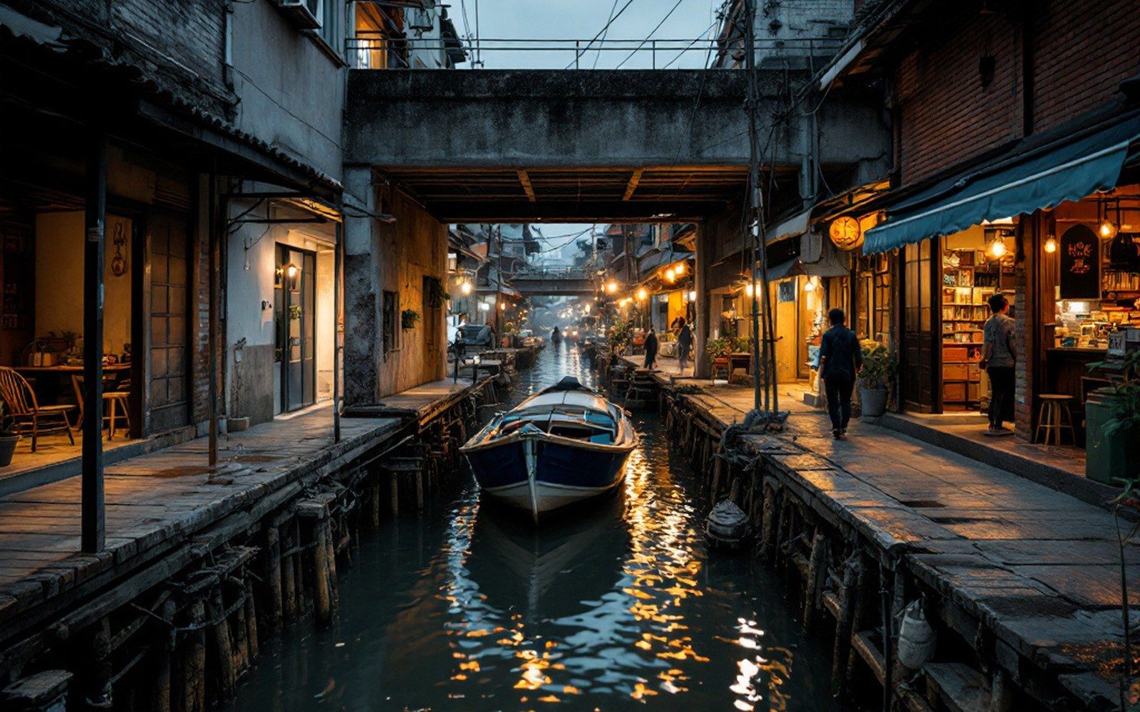
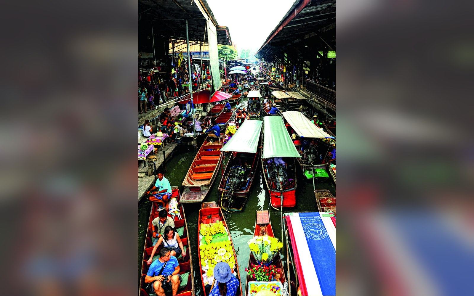
The Bangkok that foreign travellers reached in the nineteenth century was navigated almost entirely by boat. The Chao Phraya was the main artery, but branching from it on both banks were hundreds of klong — canals — that served as roads, markets, washing places and sewers simultaneously. The population moved by water. Goods moved by water. The houses that lined the klongs were built on stilts or floating platforms, oriented toward the water rather than away from it. This was not picturesque accident; it was rational engineering for a city built on a delta barely above sea level, where the ground itself was too waterlogged to carry much weight.
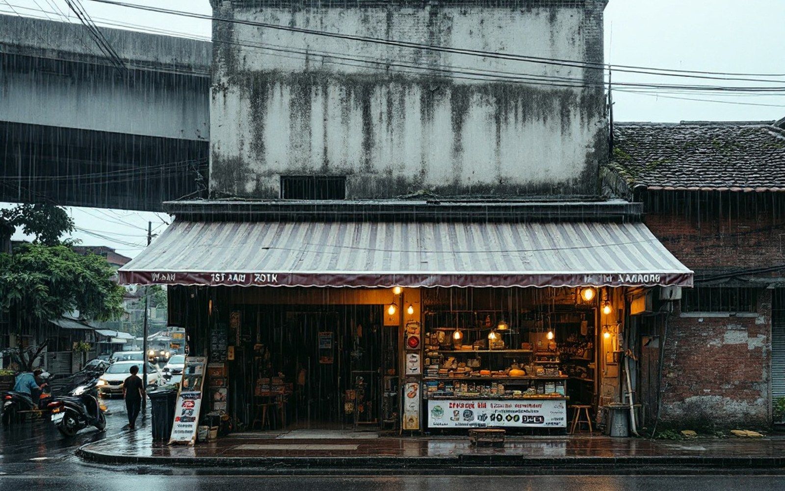
The system drained the city as it connected it. The network of klongs distributed floodwater across a wide, shallow basin during the rainy season, allowing the alluvial plain to absorb excess gradually. Bangkok flooded every year — seasonally, predictably — and the city was designed around that fact. Residences rose on platforms, rice was stored above water level, and life adjusted its rhythm to the rains. The flooding was a nuisance. It was not a catastrophe.
The road comes in
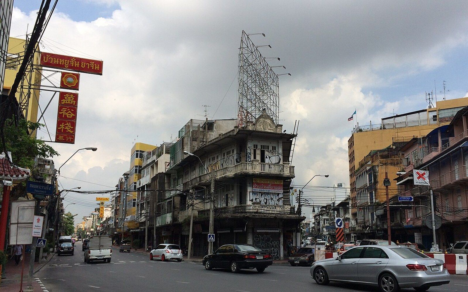
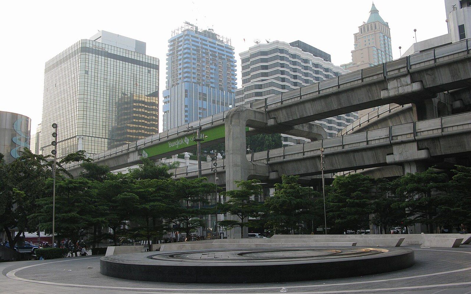
The pressure to fill the klongs came from several directions at once. Rama V's modernisation programme in the late nineteenth and early twentieth centuries began introducing roads and railways into the urban fabric, but the decisive shift came in the decades after the Second World War, when Bangkok's population expanded at speed and the demand for road transport overwhelmed the water-based network. Klong after klong was filled with rubble and paved over. The process accelerated through the 1950s, 1960s and 1970s. What had been a journey by boat became a journey by bus, and the canal that had made the journey possible ceased to exist.
The change was not purely a loss of amenity. Bangkok's alluvial soil made tunnelling difficult and the road network had no adequate replacement for what the klongs had done to manage water. A canal is not only a transport corridor; it is a detention basin, a slow-release valve, a route by which water can find the river. When it is filled, that function disappears entirely. The road that replaces it is impermeable. Rain that would have run into the klong and moved toward the Chao Phraya now pools on the surface, overwhelms whatever drainage pipes were laid in the fill, and sits.
What drainage looks like without canals
The flooding that Bangkok experiences now is structurally different from the seasonal flooding the canal city managed. The old system was slow and distributed; the modern problem is fast and concentrated. A heavy monsoon downpour in the wet season can leave major roads knee-deep within an hour, not because the rain is unprecedented but because there is nowhere for the water to go. The city sits in a bowl — flat, low-lying, and progressively subsiding as groundwater extraction compresses the clay beneath it — and Bangkok's land surface has been sinking by measurable amounts annually for decades, pushing the delta ever closer to sea level.
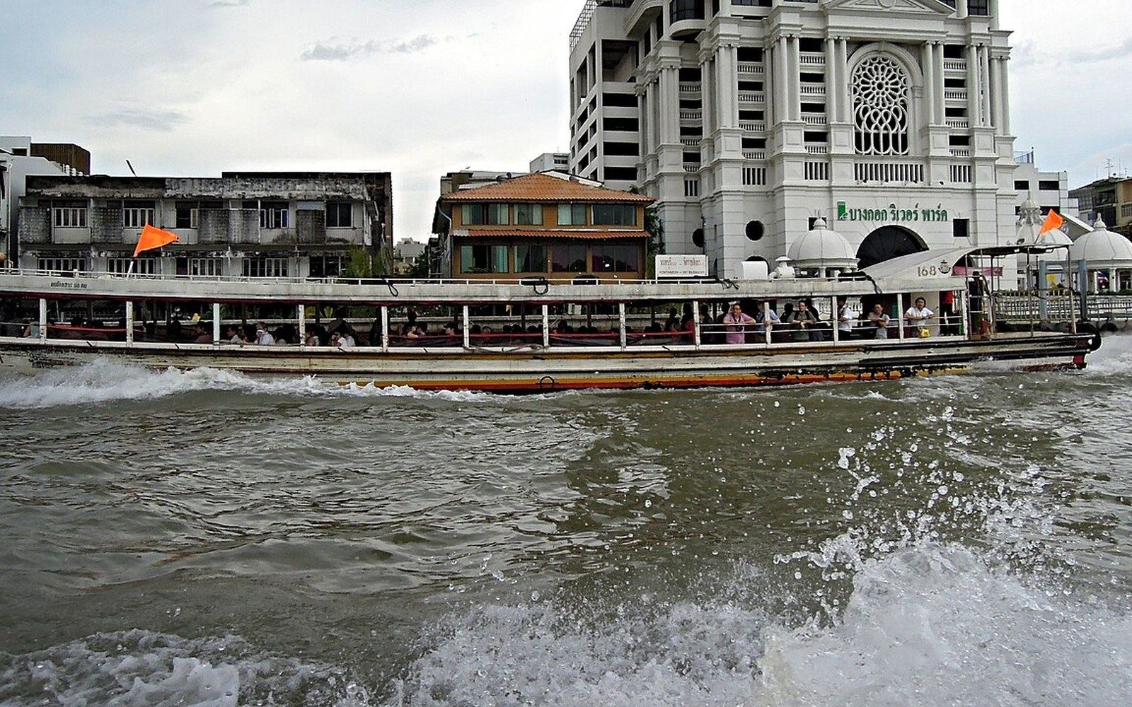
A small number of klongs survive, mainly on the Thonburi side of the river and in the outer districts, and they retain their drainage function. The Chao Phraya express boat still runs on the main river, and the klong routes that serve inner Bangkok carry both commuters and water in the directions they always did. But the network that gave the city its hydraulic resilience is gone. What remains is a city-scale drainage problem that no amount of infrastructure spending has fully resolved, because the infrastructure that solved it was the thing that was removed.
The filled klongs are easy to miss. Some of their traces survive in road names — several of the city's main roads follow former canal routes, as do sections of roads that still carry klong in their official designations. The shape of the old network is legible in the street plan to anyone who looks for it. The flooding it once prevented is legible to anyone who stands in Bangkok in September.
Related
The river, and the working day it keeps