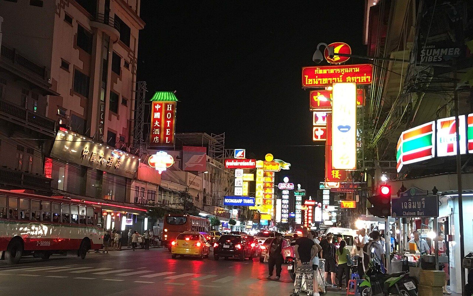
The ground was too soft to tunnel, so the railway went over the road
Bangkok built its rapid transit on stilts — two elevated lines opened in 1999 above avenues that were already there, because the alluvial plain beneath the city made digging a much harder problem than building upward.
The city that could not dig
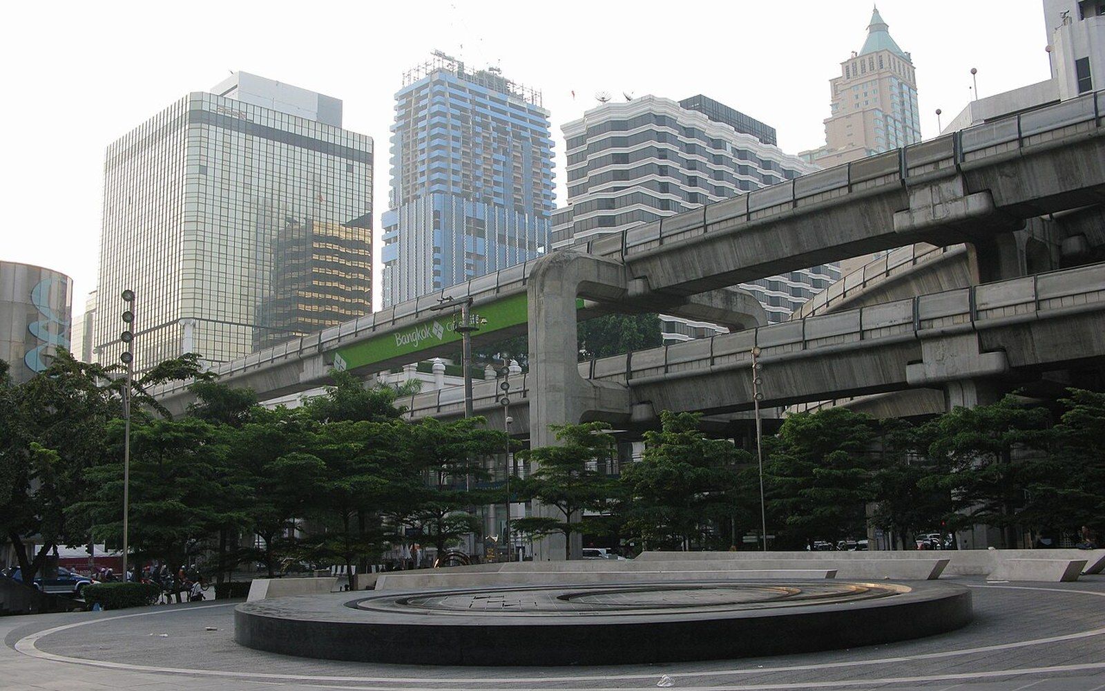
Bangkok sits on the Chao Phraya delta, a plain of soft clay and alluvial sediment that took centuries to compact and has never fully finished doing so. The city has been measurably sinking for decades — ground subsidence caused by aquifer extraction added urgency to the question of how to build beneath streets where the soil behaves closer to wet concrete than to rock. When planners in the 1990s were finally forced to act on a traffic crisis that had made Bangkok's gridlock internationally notorious, the elevated option was not chosen for elegance. It was chosen because the ground left few alternatives at acceptable cost and speed.
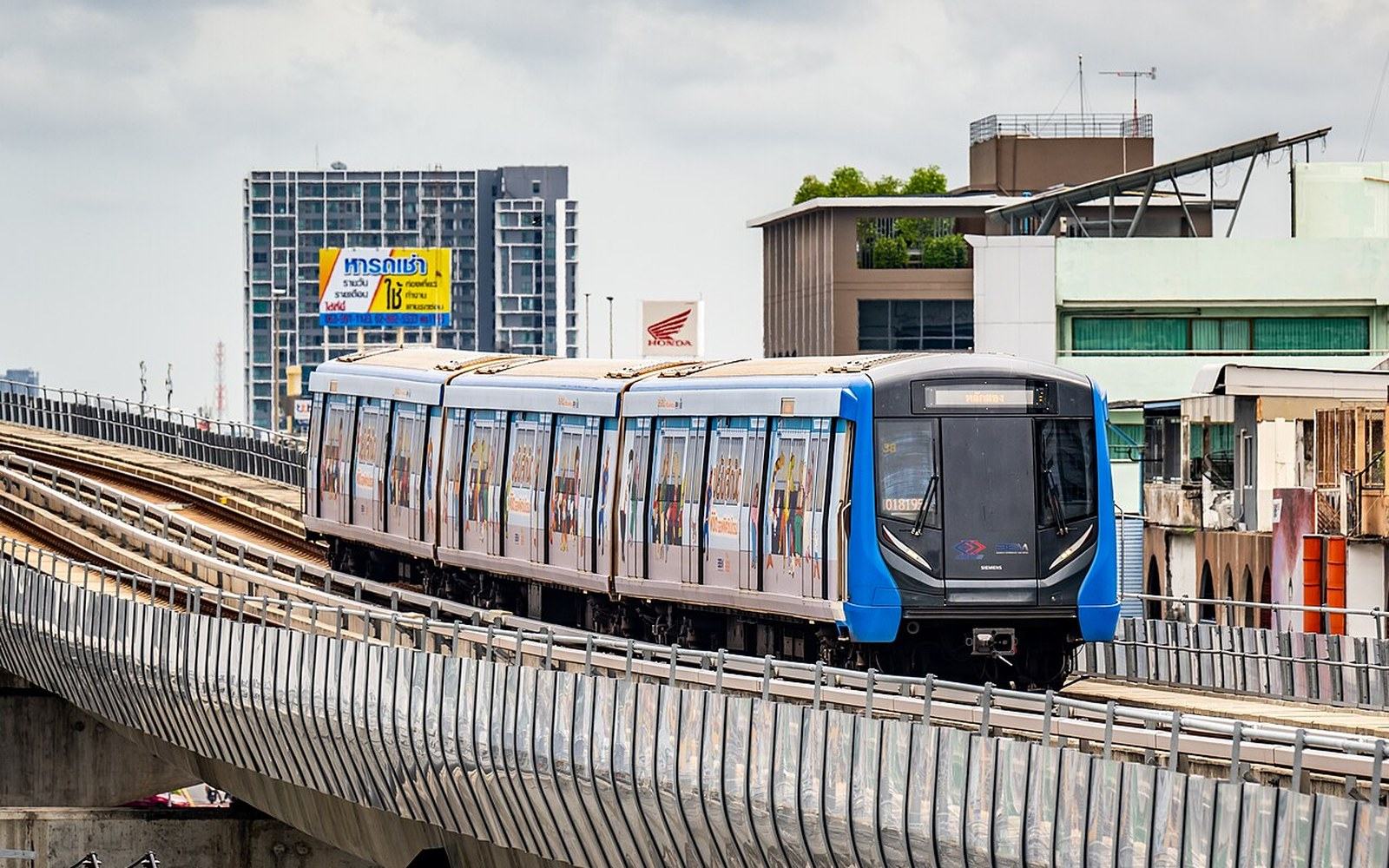
The BTS Skytrain opened on 5 December 1999, running on two lines — Sukhumvit and Silom — that met at Siam station, which functions as the system's central interchange. The infrastructure is a concrete viaduct erected above the median strips and lanes of roads that already existed: Sukhumvit Road, Phahon Yothin Road, Silom Road, Ratchadamri. The trains run on those viaducts at roughly second- or third-floor height, above the traffic, entirely separated from it. Bangkok gained a rapid transit system not by removing itself from street level but by adding a layer above it.
The decision had visible consequences. Building a viaduct means columns in the road, which the city absorbed. It means noise and shadow along the corridor beneath, which residents absorbed. And it means a system whose stations are fixed to the avenues it was built over, which shaped Bangkok's subsequent development in ways that were not fully anticipated in 1999. The BTS was a piece of infrastructure that arrived late — proposals for an elevated rail system had circulated since the 1970s — and the lateness meant it had to work with the city as it existed rather than the city as it might have been planned.
What the viaduct made
The Sukhumvit Line runs northeast from the city centre along one of Bangkok's defining commercial corridors, passing through districts — Asok, Phrom Phong, Thong Lo — that consolidated around the stations after 1999. The Silom Line cuts across the older business quarter, connecting the riverside areas near the Chao Phraya with the Sukhumvit corridor at the Siam interchange. Both lines pass through territory that is walkable in the narrow sense — station to building — but often hostile at street level: wide roads, incomplete footpaths, heat and exhaust. The elevated walkways between BTS stations and the towers beside them became a covered pedestrian layer of their own, which is how Bangkok's shopping centres connect directly to Skytrain stations by walkway, effectively creating a climate-controlled upper city above the streets.
The Bangkok Mass Transit System, the private operator that runs the BTS under concession, extended both lines significantly after the original opening. The Sukhumvit Line now reaches well beyond the original northern terminus at Mo Chit, with extensions toward the northern suburbs completed in stages over the following two decades. The Silom Line extended south toward Bang Wa. These extensions continued on the same elevated model, threading the viaduct above existing roads rather than acquiring new corridors. The BTS network, as it stands, is a record of which roads were wide enough and politically available to build above.
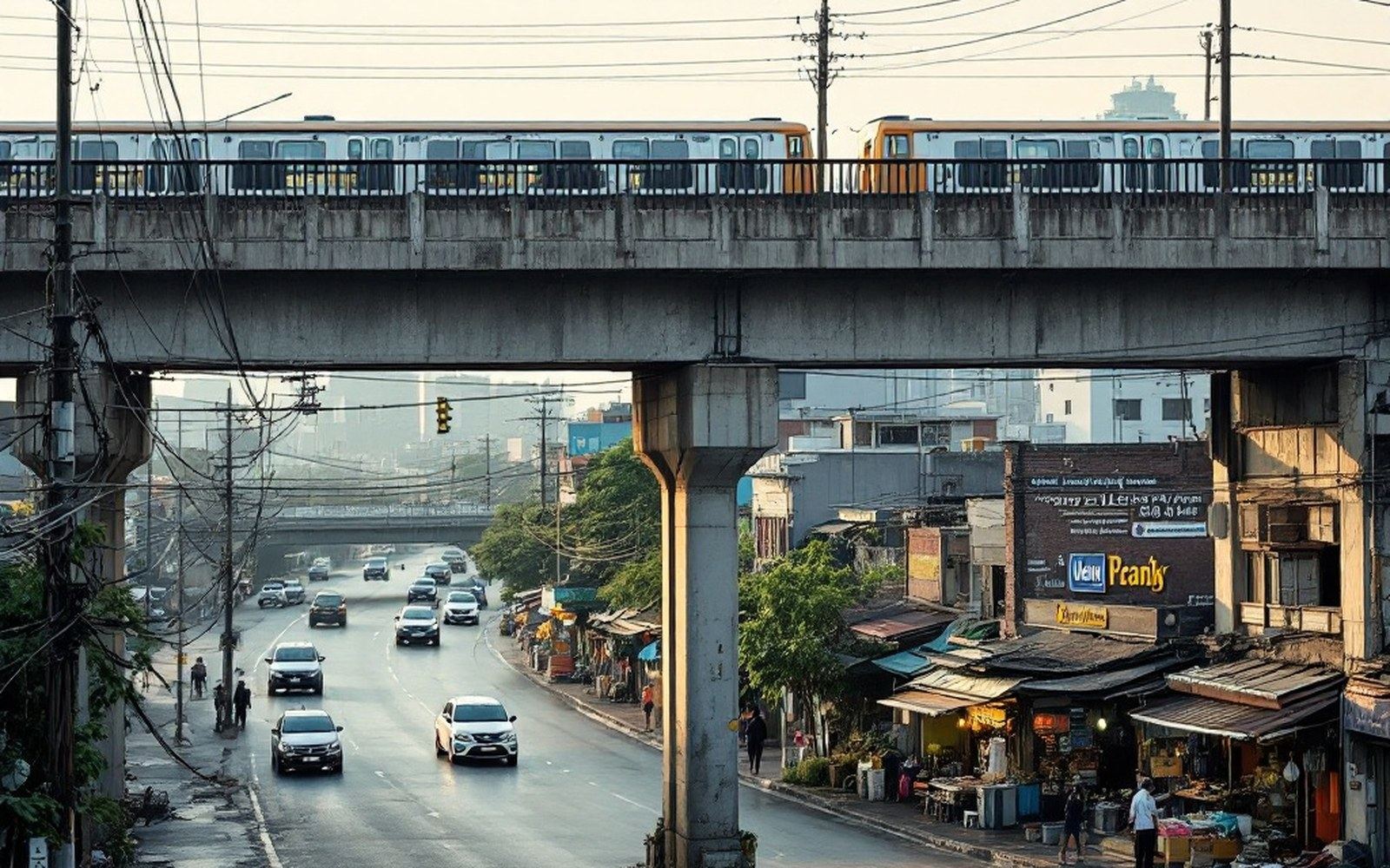
This is where comparison with the MRT is instructive. The underground line opened five years after the BTS, in 2004, on a route that ran beneath streets the Skytrain did not cover — threading under Rama IX Road and the old rail corridor, connecting Hua Lamphong station with the northern part of the city. The MRT cost considerably more per kilometre than the elevated system and took longer to build through the same soft ground that had influenced the Skytrain's design. Both systems are now part of a connected network, but they reflect two different answers to the same problem given under different financial and political conditions.
The lines, the stations, the shape left behind
Siam station sits at the crossing of the two original lines and became, over the twenty-odd years since 1999, the centre of gravity for Bangkok's elevated commercial world. The Siam Paragon and MBK Centre complexes are directly connected to it; a radius of towers, malls and walkways spreads from that point. This was not accidental — transit hubs attract density — but the scale of what accumulated at Siam was particular to a city where the alternatives to the air-conditioned walkway were the pavement and the midday sun.
The State Railway of Thailand runs its own services on ground level, operating out of Hua Lamphong in the city centre and Krung Thep Aphiwat (Bang Sue Grand Station), the newer terminal that opened in 2021 to handle long-distance and suburban rail. The SRT's tracks predate the BTS by decades and run on an entirely different logic: intercity corridors going north toward Chiang Mai, south toward the peninsula, east toward the Cambodian border. The two systems barely intersect physically and serve almost entirely different travel purposes. Bangkok's transit layers — BTS above the roads, MRT below them, SRT on the old ground-level alignments — did not emerge from a unified plan but from successive attempts, each constrained by what already existed.
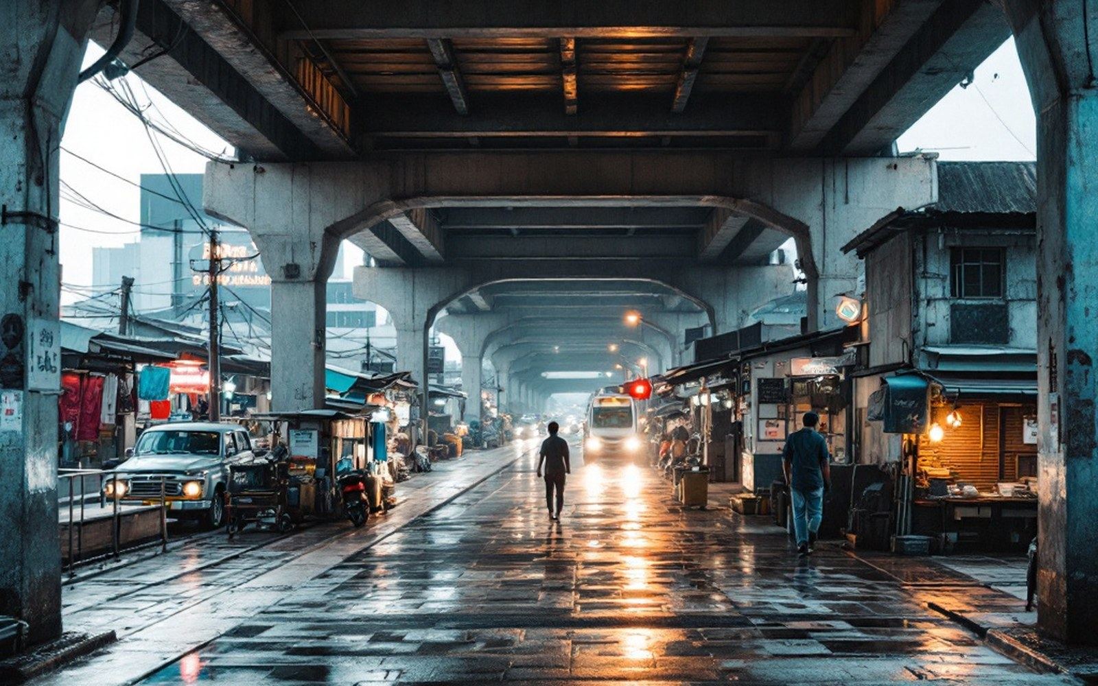
What the Skytrain solved was legible and immediate: journey times between the Sukhumvit corridor and the business districts that had previously taken an hour in traffic were reduced to minutes. What it could not solve, and did not try to, was the question of how people moved from the elevated stations to the streets below, or from the streets to the areas the viaduct did not reach. Bangkok is a city where the Chao Phraya express boats and motorcycle taxis still perform work that a more integrated system might absorb, not because the BTS failed, but because a viaduct built above existing avenues in 1999 was always going to be a partial answer to a problem that had been accumulating for decades before the first train ran.
The ground was soft, so the railway went up. The city grew around the stilts.
Related
A city that could not dig, so it built upward