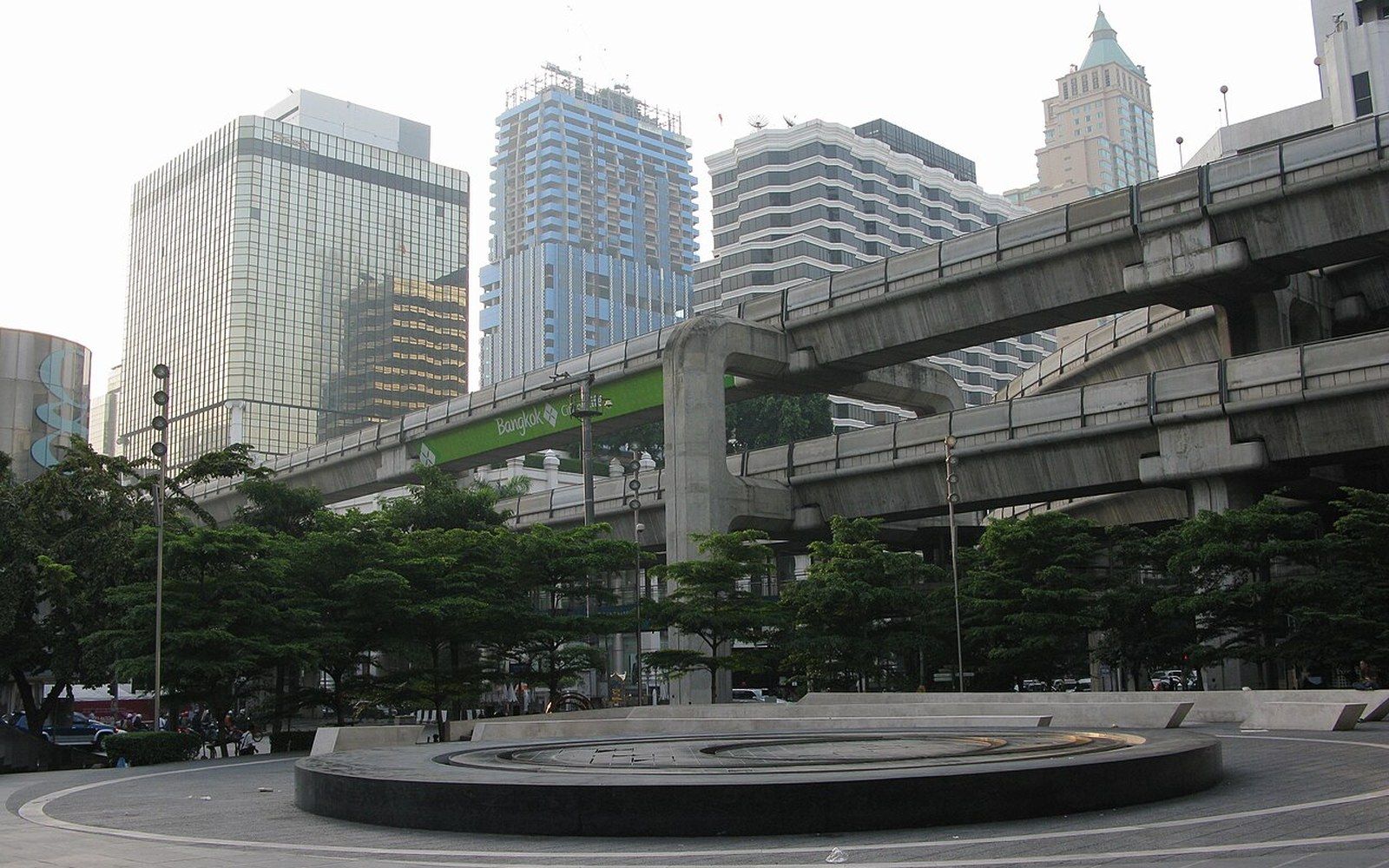
The first paved road was cut for people who wanted to drive
Charoen Krung was laid in 1864 at the request of the foreign community, who wanted somewhere to take a carriage. The road they got set the line the modern city grew along for the next century.
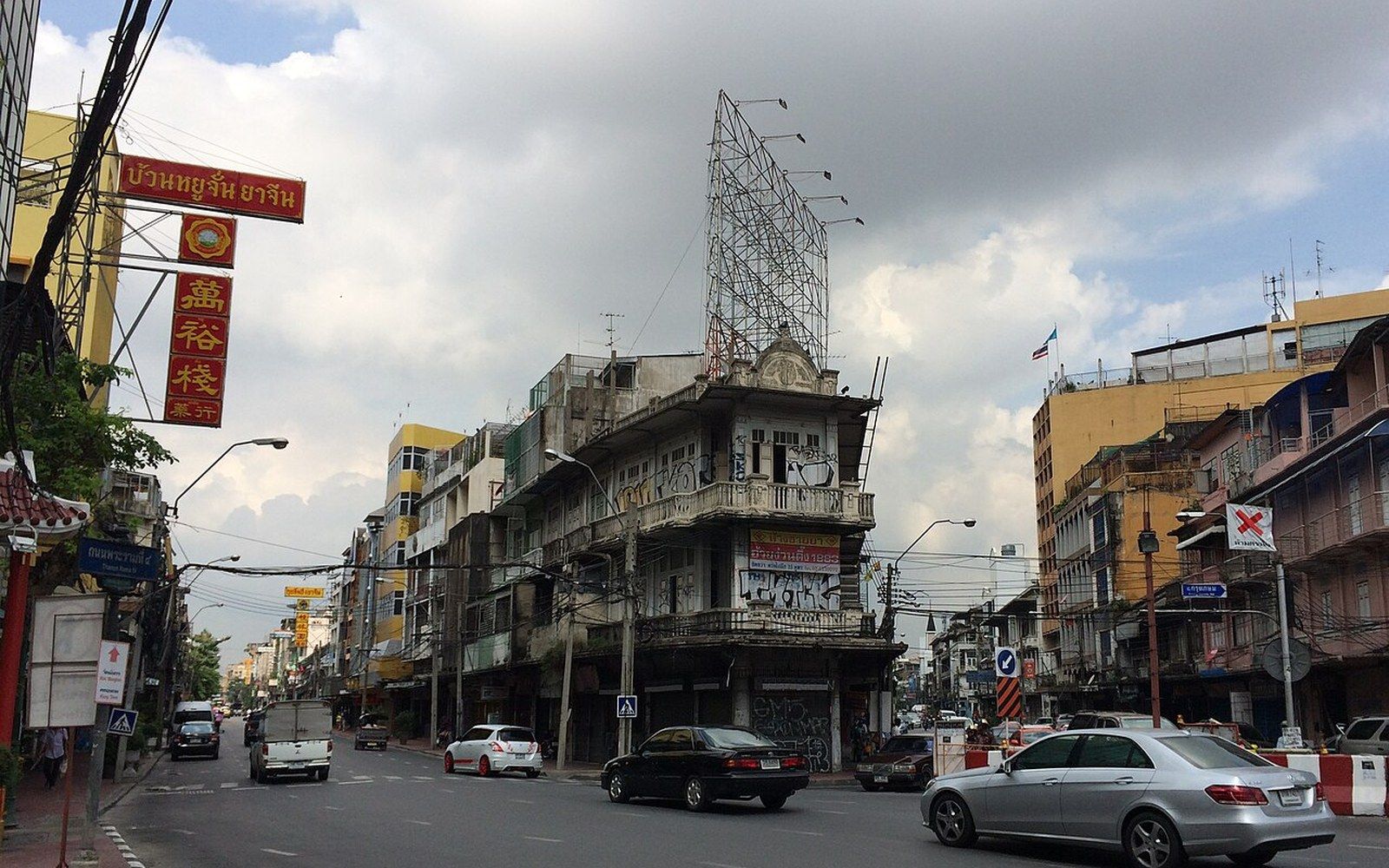
A city of water asked to make room for wheels
Bangkok in the middle of the nineteenth century moved almost entirely by water. The klongs — the network of canals that laced both banks of the Chao Phraya — carried people, produce, fighting fish and Buddhist monks with equal efficiency. There was no particular reason to build a road: the river and its branches went everywhere a person needed to go, and the land between them was largely too soft and too wet to surface usefully anyway. Roads, where they existed at all, were narrow, unpaved tracks that became impassable in the rainy season. The foreign merchants and diplomats who had been accumulating along the river since the Bowring Treaty of 1855 opened Siam to international trade found this arrangement limiting in a specific way. They had carriages, and no place to drive them.
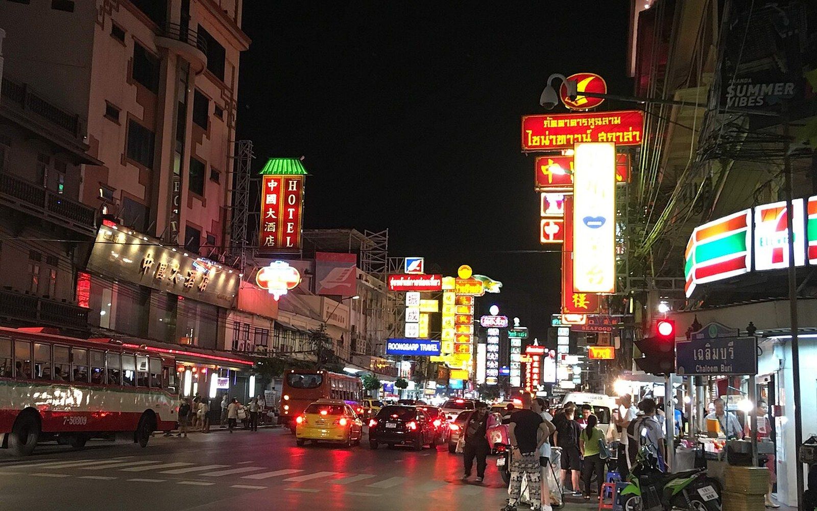
The request came formally from the diplomatic community in the early 1860s — European and American legations who had established themselves in the district that would become known as Charoen Krung, south of the palace precinct and along the eastern bank's trading edge. They wanted a road long enough to exercise horses, to take a carriage out in the evening, to replicate in some small way the promenading culture of European capitals. Rama V's predecessor, King Mongkut — Rama IV — who had spent decades as a monk studying Western science and languages before his accession in 1851, was not unsympathetic to the request. He understood it partly as diplomacy and partly as practical city-making: Ayutthaya, the former capital, had housed foreign communities with their own quarters for precisely the same reasons of commercial and diplomatic function, and the court had learned from that history.
What was laid and what followed
Chronology
- 1851Rama IV (Mongkut) accedes; Western-educated, open to diplomatic reform
- 1855Bowring Treaty opens Siam to international trade; foreign community expands
- 1862–1864Charoen Krung constructed and opened as Bangkok's first paved road
- 1868Rama V accedes; oversees Bangkok's first major terrestrial expansion
- 1876Oriental Hotel operating on Charoen Krung in early form
- 1930sGeneral Post Office built at northern end of Charoen Krung in neoclassical style
Construction of Charoen Krung — the name means something close to "prosperous city" — began in 1862 and the road was open by 1864, making it Bangkok's first paved road and one of the earliest in Siam. It ran roughly north to south along the eastern bank of the Chao Phraya, through what was already the commercial and diplomatic quarter, passing through the area now called Bangrak and continuing south toward the settlement at Sathorn. The original surface was not tarmac — that came much later — but a compacted, dressed surface capable of taking wheeled traffic without dissolving in the wet season. It was by the standards of its moment an act of considerable civic engineering for a city that had never needed to think in those terms.
The road's alignment was not accidental. It threaded through the foreign concessions and trading houses, past the sites where warehouses and godowns — riverside storage facilities — had already clustered around river access. The Portuguese community had been on this stretch of the Chao Phraya since the late eighteenth century, occupying land granted during the reign of King Taksin, before the Chakri dynasty was founded; their church, Santa Cruz, still stands in Thonburi across the river. The British, French, American and other European presences had accumulated in the same southward drift from the Grand Palace, each legation taking a riverside plot. Charoen Krung connected them to each other along a line that the river had already determined.
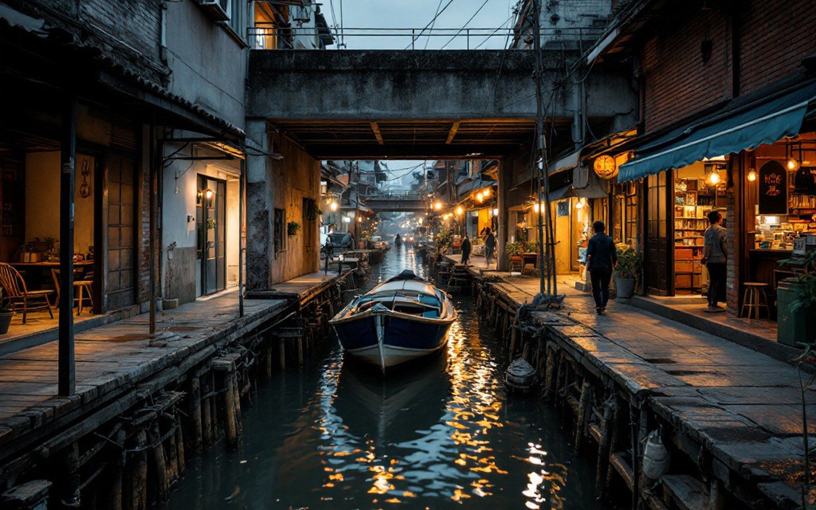
The shophouses — the two- or three-storey narrow-fronted buildings that combine ground-floor commerce with upper-floor living — that line much of Charoen Krung today began to appear along the road in the decades following its opening. The form is Chinese in origin, brought by the Teochew and Hokkien merchants who had been trading in and around Bangkok since well before the Chakri period, and it suited a road-fronting commercial logic that the canal city had never required. A shophouse faces the street; a canal-side structure faces the water. Charoen Krung, in creating a street worth facing, began to reorient a portion of the city away from the river and toward the road.
The line the city grew along
By the reign of Rama V — who came to the throne in 1868 and governed until 1910, and who is most closely associated with Bangkok's modernisation — Charoen Krung had become the spine around which the city's first wave of terrestrial expansion was organised. Rama V commissioned further roads in the following decades, including Silom and Surawong, which ran inland from the river and began to build the grid that the modern business district occupies. But Charoen Krung remained the primary artery: it was where the Oriental Hotel — now the Mandarin Oriental, one of the oldest hotels in Asia and operating in various forms since 1876 — received its guests, where the General Post Office was built in the 1930s in a neoclassical style that still anchors the northern end of the road, and where the trading houses of the late nineteenth century left their facades.
The road also fixed the position of Yaowarat, the Chinese commercial district, which developed just to the north on a parallel trajectory. Where Charoen Krung served the foreign concessions and the mixed trading community around them, Yaowarat served the Chinese mercantile economy — and the two roads together created a double axis for the southern part of the old city that remains legible today. The BTS Skytrain and the MRT, built above and below a city that had never fully solved its ground conditions, only skirt this stretch rather than running along it; Charoen Krung sits largely outside the mass transit grid, which has the incidental effect of preserving a texture of street life and ground-floor commerce that has been erased elsewhere by elevated walkways and climate-controlled concourses.
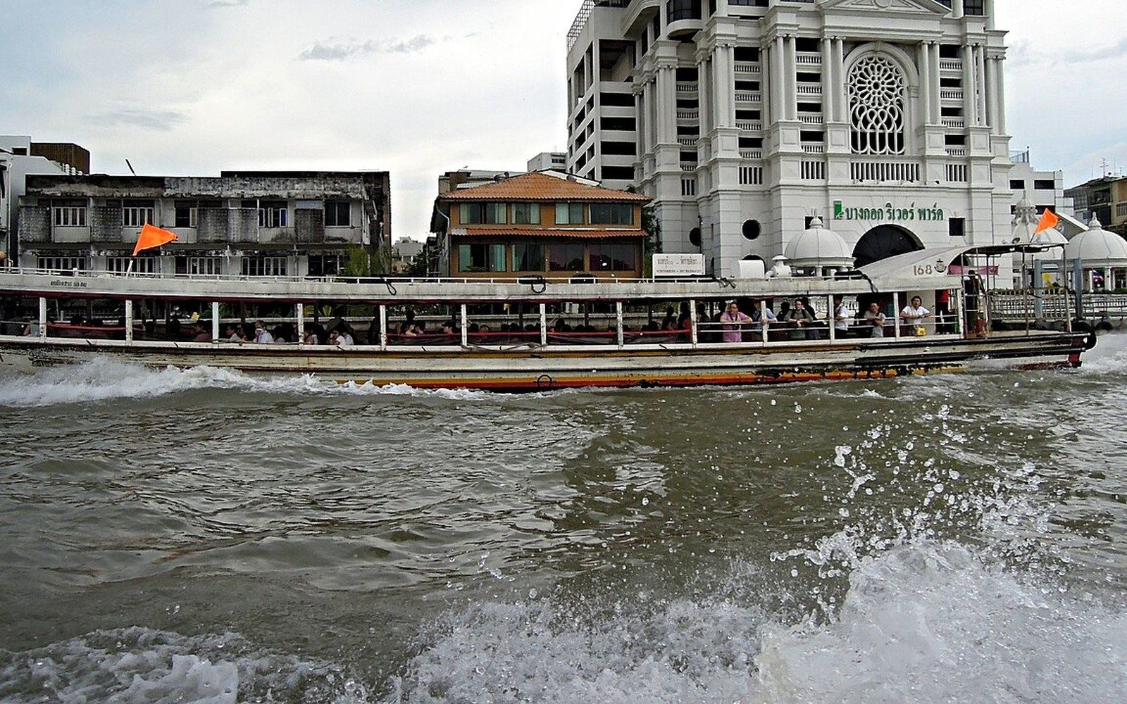
What makes Charoen Krung worth understanding is precisely that it shows what the alternatives to the canal city looked like in the moment they were being invented. The road was not a response to an existing pattern of movement — it created one. The carriages came, the shophouses came, the trading institutions came, and the logic of a street-facing city began to accumulate. The Chao Phraya remained the primary artery for goods and people far into the twentieth century; the Chao Phraya express boats still carry commuters today on essentially the same river crossing points. But Charoen Krung established the principle that land travel could be organised, surfaced, and made reliable — and once that principle existed, the city began to grow away from the water in earnest.
The foreign community that asked for a road to drive carriages on got something much larger than they intended: a template for the terrestrial city that Bangkok was about to become. The first paved road was cut for recreation, for promenading, for the social habits of European merchants far from home. It stayed because the city needed it.
Related
The river, and the working day it keeps