The capital burned and the court moved downriver
Ayutthaya had stood for four hundred years. Its fall in 1767 did not end the kingdom — it relocated it, first to the western bank of the Chao Phraya, then across the river to a trading post that became a city.
The fall and the first regrouping
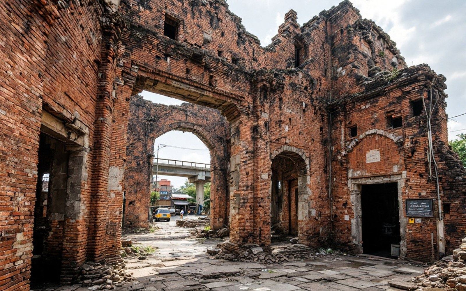
The Burmese siege of Ayutthaya lasted fourteen months. When the walls finally broke in April 1767, the city was sacked and burned with a thoroughness that contemporaries recorded as near-total: temples stripped of their gilded surfaces, the royal library destroyed, the population killed, enslaved or scattered. The physical infrastructure of a kingdom — its courts, its administrative records, its ordained clergy — was effectively erased in weeks.
What survived was military and peripheral. General Taksin, a commander of Chinese-Thai descent who had led a force out of the city before the final assault, used the months after the fall to reunify the fragmented warlord territories that had immediately formed in Ayutthaya's absence. By late 1767 he had established a new capital at Thonburi, a fortified position on the western bank of the Chao Phraya roughly eighty kilometres south of the ruins. The location was strategic rather than symbolic: it sat at the mouth of the river system, close to the Gulf of Thailand, and its existing Chinese merchant community gave it a functional trade economy from the outset.
Taksin ruled from Thonburi for fifteen years. He rebuilt the sangha — the Buddhist monastic order — reconsolidated the northern territories including what would become Chiang Mai, and established tributary relations with neighbouring states. The Thonburi period is often condensed in popular history to a mere interlude, but it restored the institutional structures a kingdom requires: courts, monasteries, a taxation base, a royal ceremonial apparatus. Ayutthaya's foreign quarters had been built on exactly those structures over two centuries, and their collapse in 1767 left a diplomatic and commercial vacuum that Taksin's successors would spend decades refilling.
Chronology
- April 1767Ayutthaya sacked and burned after a fourteen-month Burmese siege
- Late 1767Taksin establishes new capital at Thonburi on the western bank of the Chao Phraya
- 1782Rama I founds Bangkok on the eastern bank; Chakri dynasty begins
- 1864Charoen Krung, Bangkok's first paved road, constructed under Rama IV
- 1991Ayutthaya Historical Park designated a UNESCO World Heritage Site
Across the river
In 1782, following a coup, General Chakri — who took the reign name Rama I — crossed the Chao Phraya and founded a new capital on its eastern bank, at a customs post and trading settlement called Bang Makok, known in shortened form as Bangkok. The move was deliberate and ideologically loaded. The eastern bank offered more defensible high ground; it also placed the new capital on the river's commercially dominant side, away from the older Thonburi settlements. Rama I immediately began constructing a palace complex and a city plan that consciously echoed Ayutthaya: the Grand Palace and Wat Phra Kaew occupying an island formed by a looping klong — an artificial canal — in the same way that Ayutthaya had been an island city surrounded by waterways.
The mirroring was pointed. Wat Pho, enlarged under Rama I on the site of an older temple, became a repository for sculptures and inscriptions salvaged from the Ayutthaya ruins. The Emerald Buddha, the kingdom's most sacred image, was installed in the new palace chapel after being brought from Vientiane. These were acts of translatio — the deliberate transfer of sacred and dynastic legitimacy from a destroyed centre to a new one. Bangkok was not simply replacing Ayutthaya; it was claiming continuity with it.
The Chao Phraya remained the arterial logic of this new capital just as it had been for Ayutthaya. The first roads were barely tracks; the river and its klongs carried everything. Charoen Krung, Bangkok's first paved road, was not cut until 1864 — nearly a century after the founding — when the foreign merchant community pressed for a surface suitable for wheeled traffic. By then the city had already grown into a river-facing commercial and ceremonial capital that Rama V would later modernise with European-influenced avenues, rail connections and administrative reform.
Ayutthaya did not disappear from the map; it continued as a provincial town and its ruins were designated a UNESCO World Heritage Site in 1991. But as a capital it ended in the fire of 1767 — and what rose in its place chose, with considerable care, to look like it.